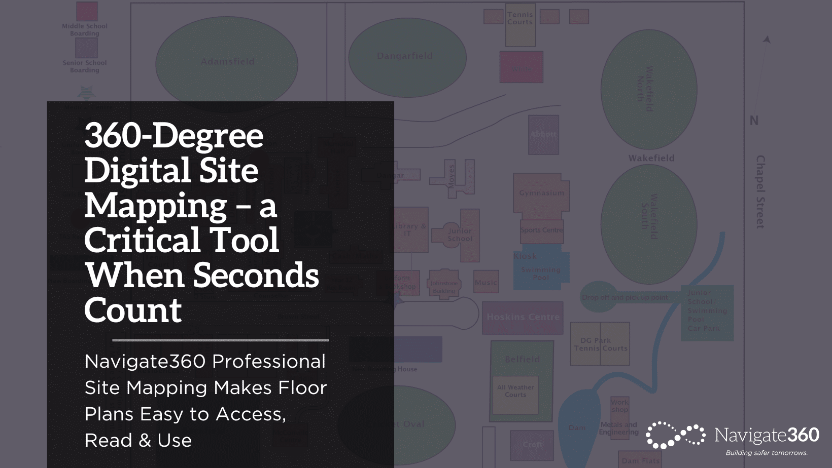
Navigate360 Professional Site Mapping Makes Floor Plans Easy to Access, Read & Use
A first responder heading into a smoky hallway. A team updating school safety plans. A district facility director managing equipment maintenance. A principal working on an insurance claim.
What do these four very different situations have in common? They’d all benefit from access to a 360-degree digital site map.
Just what is a 360-degree digital site map?
The short answer: A tool that provides complete visibility of every space on a school’s campus.
With Navigate360 Site Mapping, the process starts with a visit from our team of full-time professional photographers. During this onsite visit, they capture 360-degree images of each room, common space, hallway and stairwell and link them to the school floorplan they’ve already loaded into the fully integrated gency Management System, which provides a user-friendly, cloud-based home for safety plans, channels of communication and resources for first responders.
The 360-degree images automatically link to the floor plan and capture the critical information school staff and first responders need to know about each campus space, including:
- Doors, windows & other points of egress
- Infrastructure systems — electrical, fire & mechanical
- Lifesaving alarms & equipment — fire pulls, fire extinguishers, AEDs & more
- HVAC & ventilation systems
- Security cameras
- Equipment/furniture, etc. in each space
Navigate360 Site Mapping is completely customizable and easy to edit as you make changes to your facility. You can upload any number of floor plans, and there are no bandwidth or storage limitations.
Another differentiator: Aerial views of your campus. Aerial mapping provides first responders with a more holistic understanding of your campus layout and the routes available between buildings. Within the EMS platform, you can add important locations such as reunification sites and evacuation routes to your aerial maps. This information will enable law enforcement to reach people in need more quickly, ensure seamless evacuation and could ultimately be lifesaving in the event of a fire, natural disaster or active shooter.
Site Mapping is critical for emergencies & invaluable for so much more.
Site Mapping is an invaluable tool in a variety of critical situations:
Emergencies. When disaster hits, first responders need accurate building and campus information now. With Site Mapping, a simple login takes them directly to a comprehensive map of your school, complete with vital information like points of access, safety equipment, door swings and more for each space.
Safety Planning. Effective school safety plans depend on up-to-date floor plans and an easy way to capture key building features like exits, safety equipment, infrastructure and risk points (such as chemistry labs or areas where flammable supplies are stored). With Site Mapping, it’s easy to keep this information up to date — no more copying and reassembling paper binders — and simple to share critical facility information. In the event of an actual emergency, you never know who might need to make critical decisions or know additional ways to exit the building. Being able to easily tap into the most up-to-date facility information can save lives.
Maintenance. Whether your facility staff is responsible for managing one building or a dozen, Site Mapping makes it easier to ensure both standard and life-saving equipment are tracked and maintained on schedule. With interactive Site Mapping, facility staff can easily verify they’ve found, inspected and maintained every piece of equipment.
Insurance Claims. When floods, fire or theft means the loss of vital equipment, furniture or supplies, you’ll have the information you need to file an accurate insurance claim thanks to the 360-degree photos captured to create your Site Mapping plans.
Next Steps
We know that dedication to whole-child safety takes a whole community and that site mapping is a foundational piece of your school’s critical safety and security efforts. Recognized as an AM Best 2022 Client Recommended Expert Service Provider for Security Consultants, we have the solutions and experience to support your safety and security planning.
Contact us today to leverage our tools, technology and unbiased expertise to gain a deep understanding of how to keep your students, staff and school communities safe.


